The air quality in and around Delhi continues to remain ‘very poor’ even on Monday morning, despite various pollution prevention measures by the Kejriwal-led government.
The drop in air quality in the national capital during the winter season is mainly due to the stubble burning activities in the North-Western states like Punjab and Haryana.
Even the System of Air Quality and Weather Forecasting And Research (SAFAR) has claimed that 40% of air pollution in Delhi is due to stubble burning in the neighboring states.
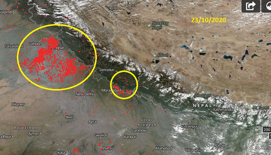
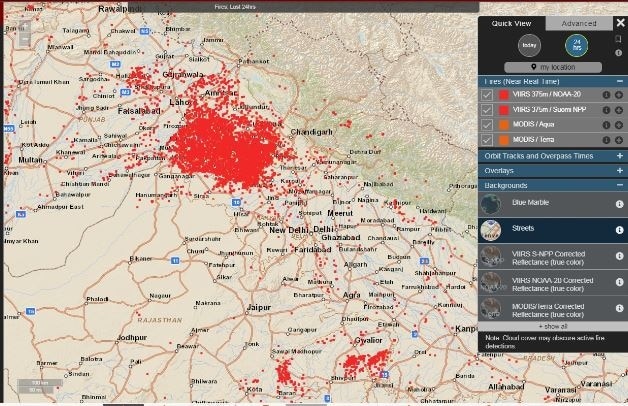
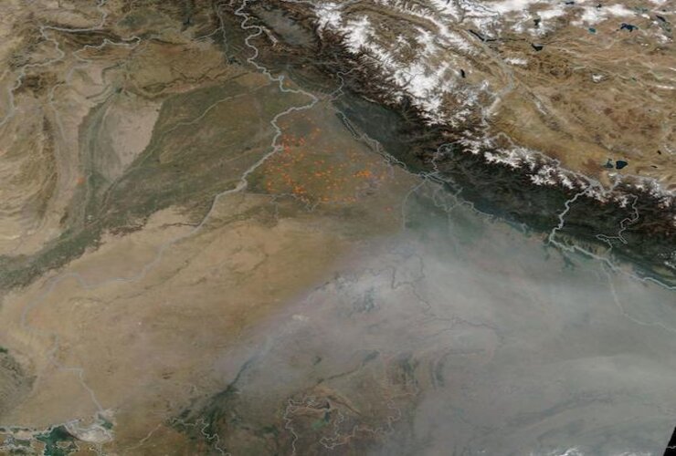
Interestingly, a map by NASA’s Fire Information for Resource Management System (FIRMS) on Monday showed several fire spots over Punjab and Haryana.

As per the map, areas including Faridkot, Moga, Barnala, Muktsar, Fatehgarh, and Maler Kotla, showed several such fire spots.
On Sunday, Punjab reported 3,560 stubble burning incidents, with Sangrur district recording the highest number of farm fires at 593.
However, the Punjabi Government claimed that the Air Quality Index (AQI) of their state is relatively better than that of neighboring Haryana and Delhi.

According to the Central Pollution Control Board (CPCB) data, Air Quality Index (AQI) in Delhi was recorded at 302.
Sonia Vihar, Bawana, Patparganj, and Jahangirpuri recorded the highest AQI in Delhi.
- Sonia Vihar – 362
- Bawana – 345
- Patparganj – 326
- Jahangirpuri – 373
According to the CPCB, an AQI between 0 and 50 is considered ‘good’, 51 and 100 ‘satisfactory’, 101 and 200 ‘moderate’, 201 and 300 ‘poor’, 301 and 400 ‘very poor’ and 401 and 500 ‘severe’.
An AQI in the ‘very poor’ category can lead to respiratory diseases on prolonged exposure.
Stay Tuned to IndianEra for Latest India News!


